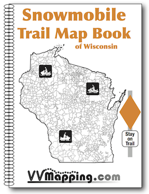
Printed map book of Wisconsin's Snowmobile Trail System.
This includes ALL of Wisconsin, over 22,000 miles of trails!
Full color, 8.5" x 11" book. Hand bound and hand crafted. Over 130 pages!
Most trails were recorded with GPS. As trails open and are rideable, the rest are GPS'd and updated.
Maps depict county roads, water, state highways, towns, gas stations, parking lots and more.
Trail length, name or number depicted.
GPS grid on each map page.


